


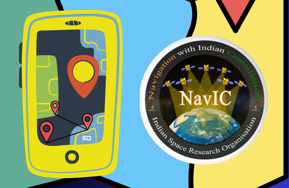
In recent years, the world has witnessed an exponential growth in technology, particularly in the realm of satellite navigation systems. One such system that has gained prominence is NavIC, short for Navigation with Indian Constellation, developed by the Indian Space Research Organisation (ISRO).
The Indian government’s recent announcement of mandating NavIC support for all mobile devices by 2025 has sparked curiosity and enthusiasm.
Understanding NavIC
NavIC, India’s indigenous satellite navigation system, marked its full operational status in April 2018 with the launch of its seventh satellite. This ambitious project had its origins in July 2013 with the launch of the first satellite, IRNSS-1A. Since then, NavIC has steadily evolved, providing essential navigation services to various sectors.
Coverage Area
One of the defining characteristics of NavIC is its regional focus. The constellation of seven satellites primarily covers India and its surrounding region, extending approximately 1,500 kilometers beyond its borders. This extensive coverage encompasses India, the entire Indian Ocean region, parts of South Asia, Southeast Asia, and the Middle East.
Applications of NavIC
NavIC offers two primary services: the standard position service (SPS) for civilian users and the restricted service (RS) for strategic users. The versatility of NavIC’s applications is impressive and includes:
- Transportation: NavIC aids terrestrial, aerial, and marine transportation, enhancing safety and efficiency.
- Location-Based Services: Applications like navigation apps, ride-sharing services, and geolocation-based marketing benefit from NavIC’s precision.
- Personal Mobility: Individuals can use NavIC for navigation, helping them find their way accurately and efficiently.
- Resource Monitoring: Industries can employ NavIC for resource management, such as tracking vehicles and assets.
- Surveying and Geodesy: Surveyors and geospatial professionals utilize NavIC for precise measurements and mapping.
- Scientific Research: Scientists benefit from NavIC’s accuracy in conducting experiments and fieldwork.
- Time Dissemination and Synchronization: Precise timing is crucial in various sectors, including telecommunications and financial services.
- Safety-of-Life Alert Dissemination: NavIC can be vital in emergency situations, helping authorities respond promptly.
Read More: Reason Why Aditya-L1 Mission Scientists Were Forbidden From Wearing Perfume Is Not What You’d Think
Comparing NavIC to Global Navigation Systems
NavIC stands alongside well-established global navigation systems, each with its own unique features. Here’s how NavIC compares to some of the major players:
- GPS (Global Positioning System): NavIC offers a positioning accuracy of 3 meters, surpassing GPS’s 5-meter accuracy. Furthermore, NavIC is available in two frequencies (S and L bands), whereas GPS operates solely in the L-band.
- GLONASS (Global Navigation Satellite System): While GLONASS has 24 satellites in its constellation, NavIC has seven. However, GLONASS provides worldwide coverage, whereas NavIC primarily serves the Indian subcontinent.
- BeiDou: BeiDou boasts a constellation of 44 satellites and offers global coverage, making it a robust competitor in the satellite navigation arena.
- QZSS (Quasi-Zenith Satellite System): QZSS is Japan’s regional system, with four satellites providing coverage over Japan and the Asia Pacific.
The Road Ahead for NavIC
ISRO has ambitious plans for NavIC’s future. It intends to launch more satellites to expand the constellation and eventually provide global coverage. This step will enhance NavIC’s utility and cement its place in the global navigation ecosystem.
NavIC, India’s homegrown satellite navigation system, has come a long way since its inception. Its accuracy, regional coverage, and diverse applications make it a valuable asset for India and its neighboring regions.
As ISRO continues to invest in its growth and development, NavIC’s prominence in the world of satellite navigation is set to rise, possibly paving the way for a future where it could rival its global counterparts.
Whether it replaces GPS in India or not, NavIC is undoubtedly a testament to India’s technological prowess and ambition on the global stage.
Image Credits: Google Images
Feature Image designed by Saudamini Seth
Sources: ISRO, Moneycontrol, Mint
Find the blogger: Pragya Damani
This post is tagged under: Technology, Navigation, Satellite System, NavIC, ISRO, Global Navigation, GPS, GLONASS, BeiDou, QZSS, India, Innovation, Navigation Services, Satellite Technology, Coverage, Future Technology
Disclaimer: We do not hold any right, copyright over any of the images used, these have been taken from Google. In case of credits or removal, the owner may kindly mail us.


